
Accurate corner location and recovery
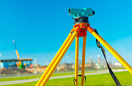
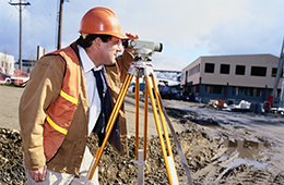
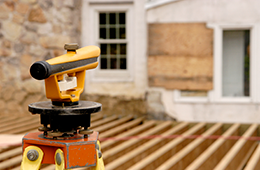
It isn't enough to find a corner with a metal detector to verify its location. Corners found by Southern Colorado Surveying are located using GPS or conventional survey equipment.
Physically locating the corners of a lot or tract will verify the locations to be the correct corners. Even a surveyor will not be able to adequately determine the location of a corner without the use of survey equipment to verify its position.
After the corners of a lot or tract are located, the corners are marked with a 4-5 foot long, ½” rebar, set next to the existing corner. Unlike wooden laths that may only stand for a few months, the metal rebar will last for years.
Boundary line staking
Points set for boundary line staking will also be 4-5 foot long, ½” rebars, set on the line of the existing location and verified corners. After locating the corners of any given lot or tract, only then can a surveyor set points along the boundary line of a lot or tract of land.
Contact Southern Colorado Surveying to accurately determine the boundaries of your property and locate its corners.